Getting around Seal Rocks
Plan your trip to Seal Rocks
As one of New South Wales' more secluded escapes, Seal Rocks offers you the chance to escape the rat race for as little or as long as you like. Plan your next getaway here and be rewarded with untouched nature, a sparkling ocean backdrop and a peaceful break.
Let's plug Seal Rocks into the GPS and find the best way to get to Seal Rocks, whether that's via a road trip, flight, bus, train or bike.
How to get there
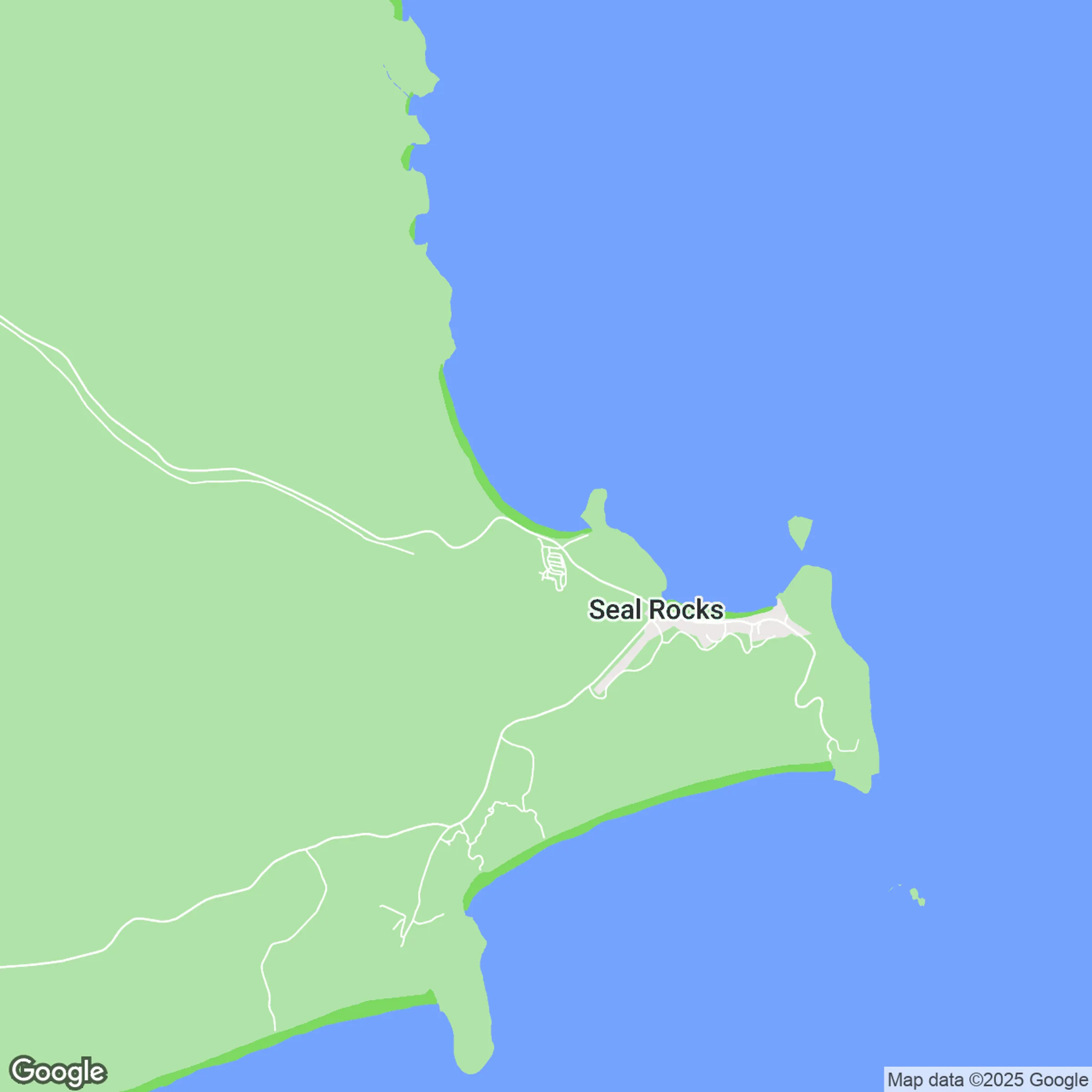
Seal Rocks is on the Mid Coast of NSW, a short drive south of Forster and Hawks Nest, adjacent to the beautiful Myall Lakes National Park. Part of the Barrington Coast, this hidden haven is prized for its untouched beaches and tranquillity, a much quieter destination compared to other major towns in the area.
Modes of transport
By Car
To get to and get around Seal Rocks, you’re going to need a car. There are no direct public transport options, so factor this into your plans. The main arterial into the area is the Pacific Highway, which connects Sydney to Brisbane along the east coast of Australia, but you'll likely take Seal Rocks Road on your way in.
If traffic is on your side, here are the closest major cities and their approximate distances from Seal Rocks:
- Bulahdelah: 35 minutes / 39 km
- Forster/Tuncurry: 40 minutes / 43 km
- Newcastle: 1hr 53 minutes / 137 km
- Port Macquarie: 2hrs / 154 km
- Sydney: 3hrs 20 minutes / 285 km
If you're coming from further away, consider booking a long distance bus or train to see more scenery, or a plane if you're short on time.
By Bus
While there’s no direct public bus into Seal Rocks itself, you can catch long-distance buses via Greyhound Australia or Premier Motor Service from Sydney Central Station to nearby towns like Bulahdelah or Forster/Tuncurry in about 4 to 5 hrs. From there, you’ll need a taxi, rideshare or local transfer for the final 30 to 50 km into Seal Rocks. For bus routes and timetables, check Transport NSW or local providers.
By Plane
Fly into Newcastle Airport (NTL) to reach Seal Rocks, which is about 114 km away and takes 1 hr 15 to 1 hr 30 min by road. From there, you can hire a car or take a bus/taxi combination south and inland to reach Seal Rocks along coastal routes via The Lakes Way. There are other regional airports, like Taree Airport, though they still require ground travel to complete the journey, so Newcastle is the best option.
By Train
There’s no train station in Seal Rocks, but the nearest rail access is at Taree or Newcastle (Broadmeadow) on the NSW North Coast line (XPT). Trains from Sydney Central Station to Taree typically take several hours, and from there you’d transfer to a bus or taxi for the remaining 80 to 115 km (approx. 1.5 hrs) to Seal Rocks. For train and bus leg details, visit NSW Trip Planner.
By Bike
The ride to Seal Rocks is best suited to confident, well-prepared cyclists rather than casual riders. It offers beautiful coastal and hinterland scenery, especially through the Barrington Coast and Myall Lakes region. However, services thin out near the end, so you’ll need to carry water, food and plan accommodation carefully. The final kilometres into Seal Rocks are narrow and undulating, making daylight riding and high visibility important.
By Foot
Making your way around Seal Rocks on foot is a laid-back way to explore, especially if you love short walks with big scenery. You can easily walk between beaches, follow headland tracks, and hike up to Sugarloaf Point Lighthouse for sweeping coastal views, all without needing a car once you arrive. It’s compact, quiet, and nature-led, making it ideal for families and slow, barefoot-style exploring.
Top things to do in Seal Rocks

Whether you’re a Seal Rocks regular, or have yet to visit this corner of the NSW Great Lakes, here are five facts about this small town coastal paradise.

Lighthouse Beach offers good diving, snorkelling, surfing and fishing in a spectacular wild landscape. The beach faces almost due south, fully exposing it to all waves from that direction. It is bordered by Sugarloaf Point and Seal Rocks Reef in the north and Treachery Head in the south.
Lighthouse Beach can be accessed either by taking the short walk to Sugarloaf Point Lighthouse or by driving down towards Treachery Beach.
This beach can also be accessed by 4WD (but you must have a valid Parks Pass from NSW National Parks and Wildlife Service for this beach and other designated 4WD beaches in Myall Lakes National Park).
Bear in mind that this beach is not patrolled.

Number One Beach is well-named; it really could be the best beach in the state or even Australia: the beach, the views and the waters are so beautiful!
Number One Beach faces north, providing sweeping views back towards Pacific Palms and offering protected swimming. It is also a good surf beach with a rocky headland walk.
At times weed can appear on the beach with rough seas, at this time Boat Beach, Lighthouse Beach and Treachery Beach are a good alternative.

Sugarloaf Point Lighthouse stands on a dramatic headland east of Seal Rocks village. Completed in 1875, it is the first lighthouse designed by colonial architect James Barnet and one of only two towers in Australia with an external stairway. It was originally built to guide ships along the rocky coastline, after a number of incidents, including the shipwrecking of the SS Catterthun and the Rainbow. Despite the coast being illuminated by the lighthouse, 20 wrecks have occurred since the lighthouse was built.
Below the lighthouse are the Lighthouse Keepers' quarters and outbuildings that have been refurbished to offer holiday accommodation for visitors. On the grassy slopes next to the lookout point and cliff edge, you'll see three memorials dedicated to people associated with the lighthouse.

Pass through coastal rainforest to scenic views of Sugarloaf Point Lighthouse on this lovely walk. Take the sidetrack to Treachery Beach for a swim, surf or a spot of fishing.
Treachery Headland walking track offers impressive views of Sugarloaf Point Lighthouse, the rocky headland and the coastline. It’s a short walk, taking you on a journey through the park’s coastal rainforest. You’ll pass a giant fig tree with intricate buttress roots before reaching the grassy headland where stunning views await.
A sidetrack off the main one will take you down to the white sands of the secluded Treachery Beach. It’s a great spot for fishing and surfing.

The former Mining Road was constructed as an access road when the area was being mined for heavy mineral sands like rutile and zircon, before the establishment of Myall Lakes National Park.
Today, the Mining Road fire trail joins with the Old Gibber Road fire trail to make a popular day or overnight ride within the park. The trail starts at Seal Rocks Road, travelling along the former Mining Road for 10 kilometres through coastal forest to a swampy area that is known as ‘The Moors’. If you're riding in spring you'll see stunning wildflowers and you're bound to see lots of birds.
The route then joins up with the Old Gibber Road fire trail for another 10 kilometres, finishing at Boomeri campground. Other camping options along the way include Shelly beach campground and Johnsons Beach campground.

Blueys Beach is a famous beach located in the beautiful Pacific Palms precinct with great surfing, swimming and stunning views across to Seal Rocks.
Legend has it the beach gained its name from a misadventure by a local cow. Cows can still be spotted on the southern headland.
There are no lifeguards at this beach. Public amenities are located to the south of the beach at Williams Park.
With its stunning views across to Seal Rocks this is the perfect beach for those wanting a beach wedding.
And bring your dog as they can be walked (on leads only) at specific times, please see website for further information.
Frequently asked questions
Didn’t find what you were looking for? We’re here to help. Get in touch here.
How far is Seal Rocks from Sydney?
Seal Rocks is about 275 km north of Sydney, which works out to a 3 to 3.5 hour drive depending on traffic and snack stops. Far enough to feel like a real escape, close enough for a spontaneous 'let’s go' weekend.
Is there public transport to Seal Rocks?
No, there's no direct public transport into Seal Rocks itself. The village is deliberately remote, which is part of its charm, but it does mean a car (or taxi/rideshare) is usually needed.
How far off the highway is Seal Rocks?
Seal Rocks is about 30 to 35 km off the Pacific Highway, roughly a 35 to 45 minute drive once you turn off. The final approach is scenic, winding and feels increasingly remote.
Is Seal Rocks dog-friendly?
Dogs are allowed in town and some accommodation areas, but they aren't permitted on beaches or walking tracks within Myall Lakes National Park. Always check local signage and accommodation rules before bringing your furry friend.
Plan your trip
Filter by
Attractions

Elizabeth Beach picnic area
11.46km from park
Framed by a scenic backdrop of the imposing Booti Hill, Elizabeth Beach is a popular spot for families, surfers and day-trippers....
Learn more
Apr 03 - Apr 26
Events

Pacific Palms Community Market
11.05km from park
Over 80 stalls to find that special thing you didn't know you needed until you saw it!
The Pacific Palms Community Centre comes...
Learn more
Food and Drink

Pacific Palms Recreation Club
11.04km from park
Pacific Palms Recreation Club offers a stunning location with unsurpassed views of Wallis Lake. Affectionately known as The Recky,...
Learn more
Tours

Gary Hughes Surface - School of Surf and Surf Consultancy
9.49km from park
Gary Hughes Surface offers learn to surf classes on the stunning beaches along the Barrington Coast. Popular beaches for lessons...
Learn more
Attractions

Hearts Point picnic area
7.54km from park
Hearts Point picnic area is a lovely spot for a break in the northern edge of Myall Lakes National Park, at Neranie, that overlooks scenic Myall Lake....
Learn more
Events

Sing Out Sister - The Recky
11.04km from park
The number one ladies only, sing and dance along party!
Craving a much-needed girls' night out? Or maybe you're ready to experience...
Learn more
Food and Drink

Garden to Table Permaculture
9.53km from park
Nestled amongst a Eucalyptus forest on the Mid North Coast, Garden to Table Permaculture is just a three-hour drive north of Sydney...
Learn more
Tours

GlideTime
6.13km from park
Imagine gliding over the water on the world's best electric hydrofoil board.
Silent, wake-free and with zero emissions, you can...
Learn more
Attractions
Sugarloaf Point Lighthouse
1.69km from park
Sugarloaf Point Lighthouse stands on a dramatic headland east of Seal Rocks village. Completed in 1875, it is the first lighthouse...
Learn more
Food and Drink

Kembali Cafe
9.6km from park
A chilled-out café at Blueys Beach with fresh and healthy food infused with flavours from Indonesia. They serve only the freshest...
Learn more
Tours

Len's School
12.93km from park
Welcome to Len's School, where your photographic development is their focus.
Their range of photography courses, tours and workshops...
Learn more
Attractions

Sugar Creek picnic area
14.02km from park
Looking for a place to relax and admire nature? Walk through the forest? Maybe cook up a snag or two? Sugar Creek picnic area is a...
Learn more
Food and Drink

Drift Palms Cafe
9.51km from park
Drift Palms is a popular cafe located in the coastal town of Pacific Palms known to serve the best burgers in town....
Learn more
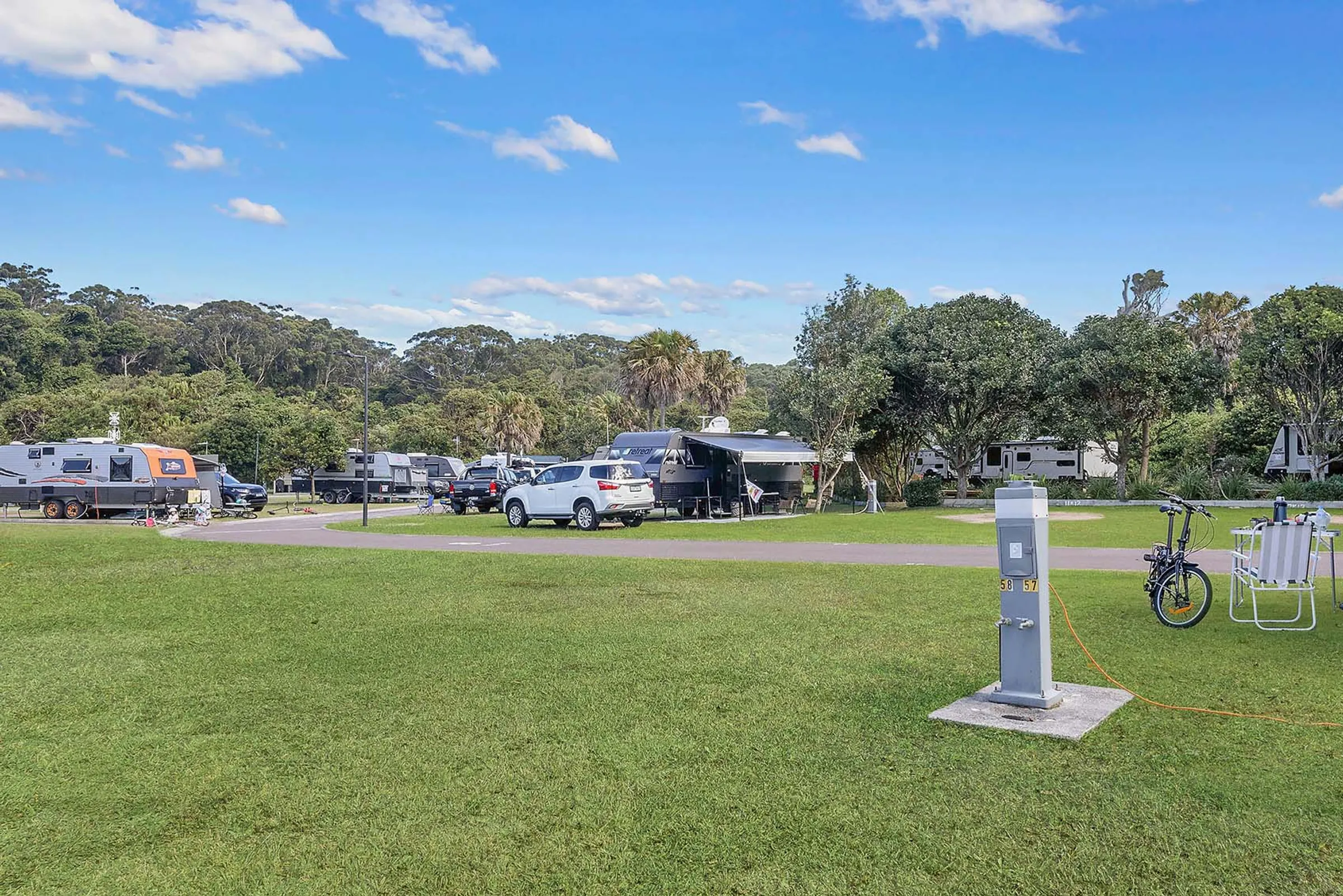
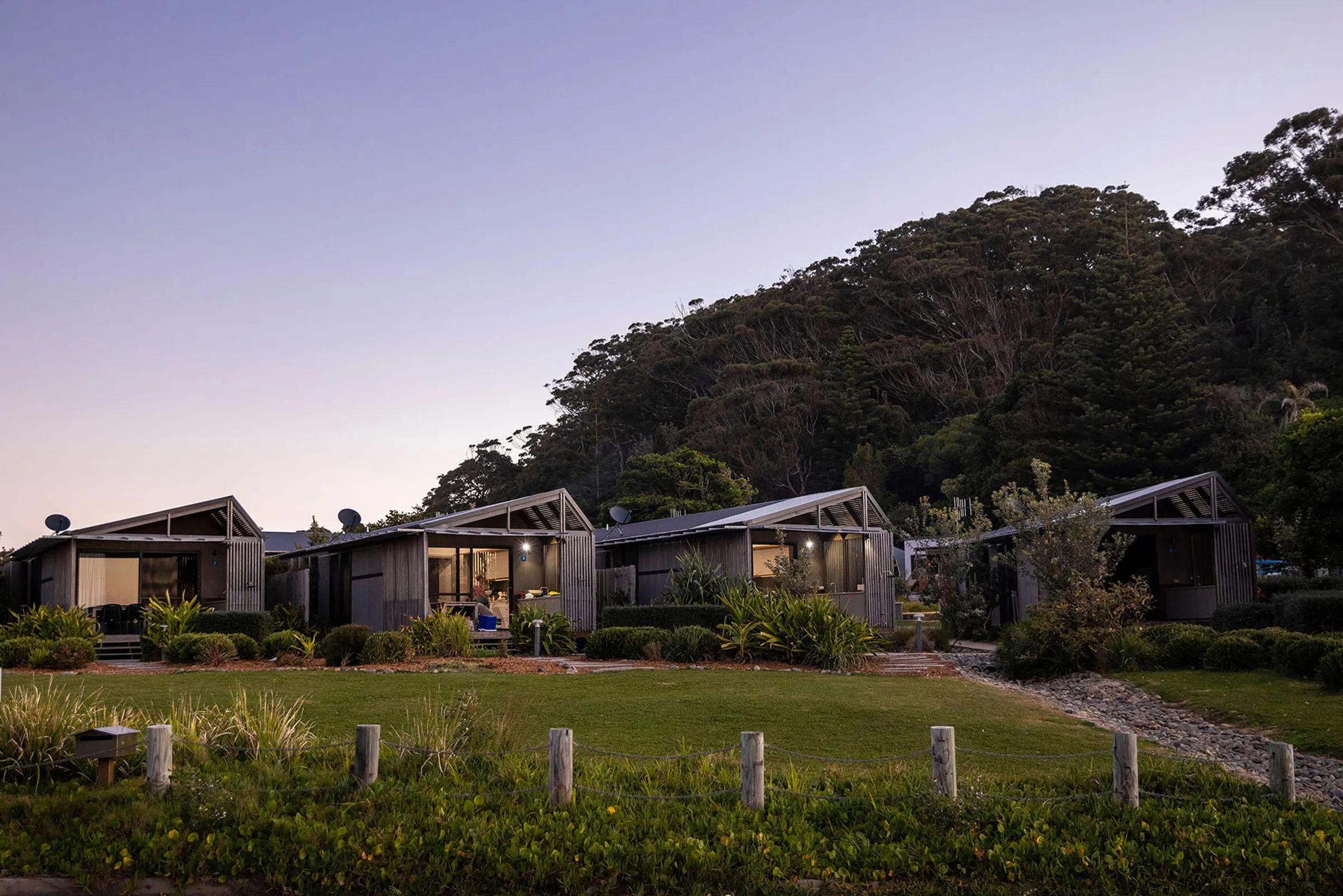
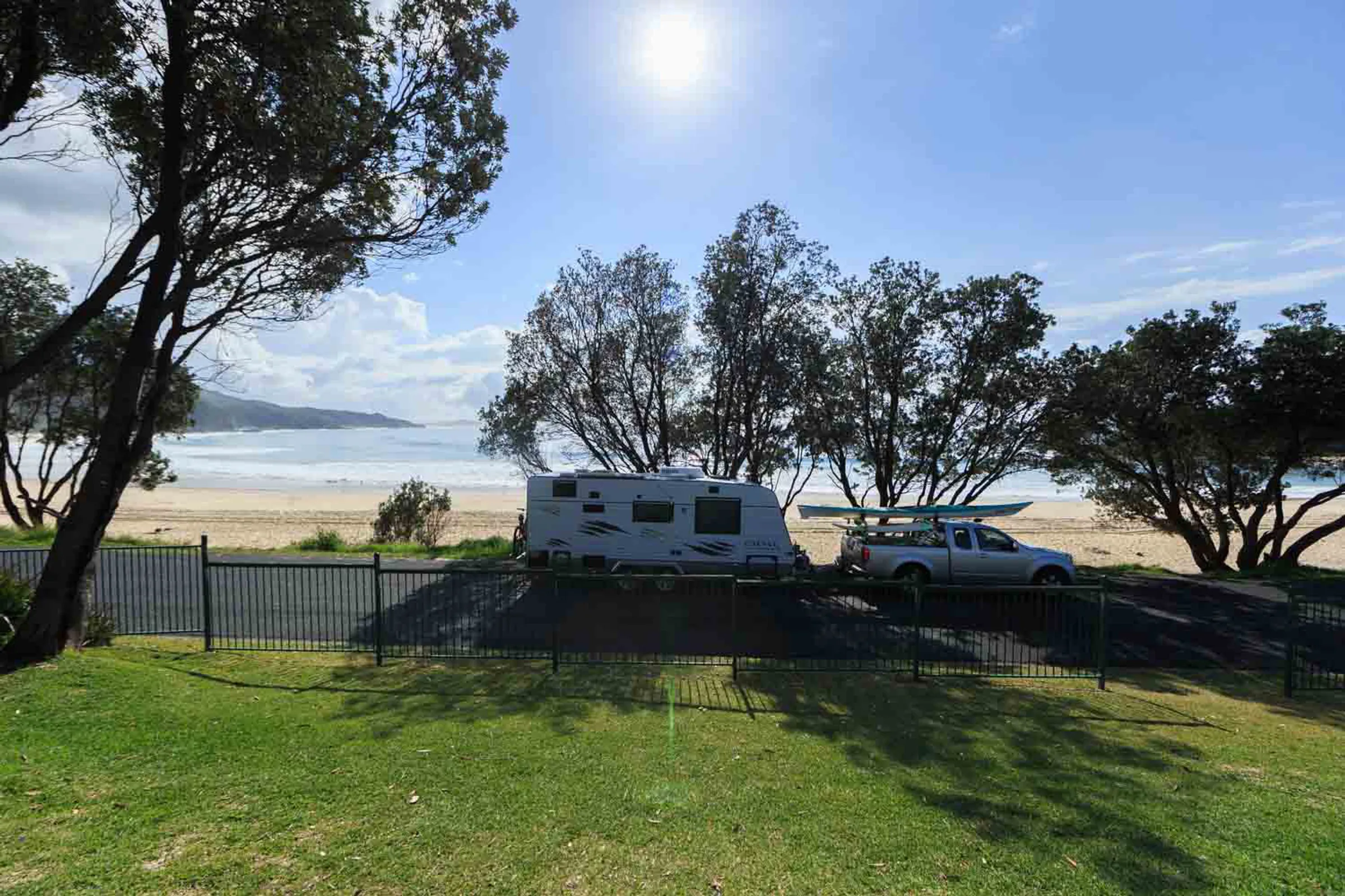
Ways to stay in Seal Rocks
Reflections Seal Rocks is where to stay in Seal Rocks if you're looking to unwind, bring your campervan or set up the family tent. You can find us right near Number One Beach with a range of cabins and villas, glamping tents and campsites available. And with school holiday activities, a playground and other helpful amenities, you'll have everything you need to pump the brakes and enjoy your time on the Barrington Coast.