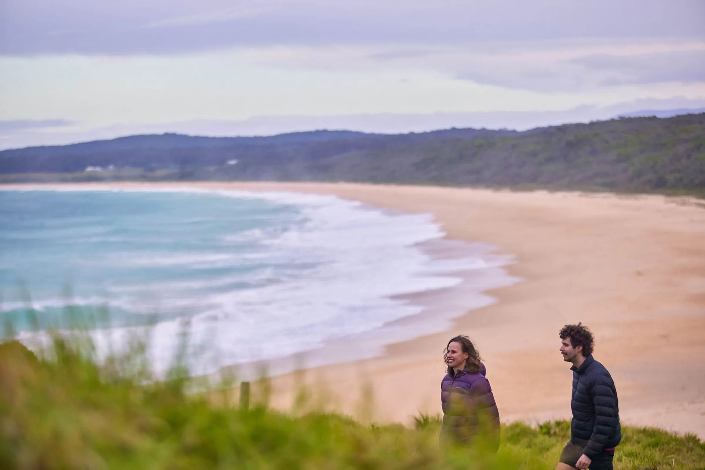
Bermagui is a standout destination for walking and hiking on the NSW South Coast, offering everything from scenic coastal strolls to longer hikes through bushland and national parks. With ocean views, rugged headlands and quiet beaches, the area is well suited to walkers of all experience levels. Here’s a guide to some of the best walking and hiking trails near Bermagui, including where each track starts and where to park.
Bermagui Coastal Walk
Difficulty: Easy to moderate
Distance: Up to 18km (one way, full walk)
Time: 4–6 hours (shorter sections available)
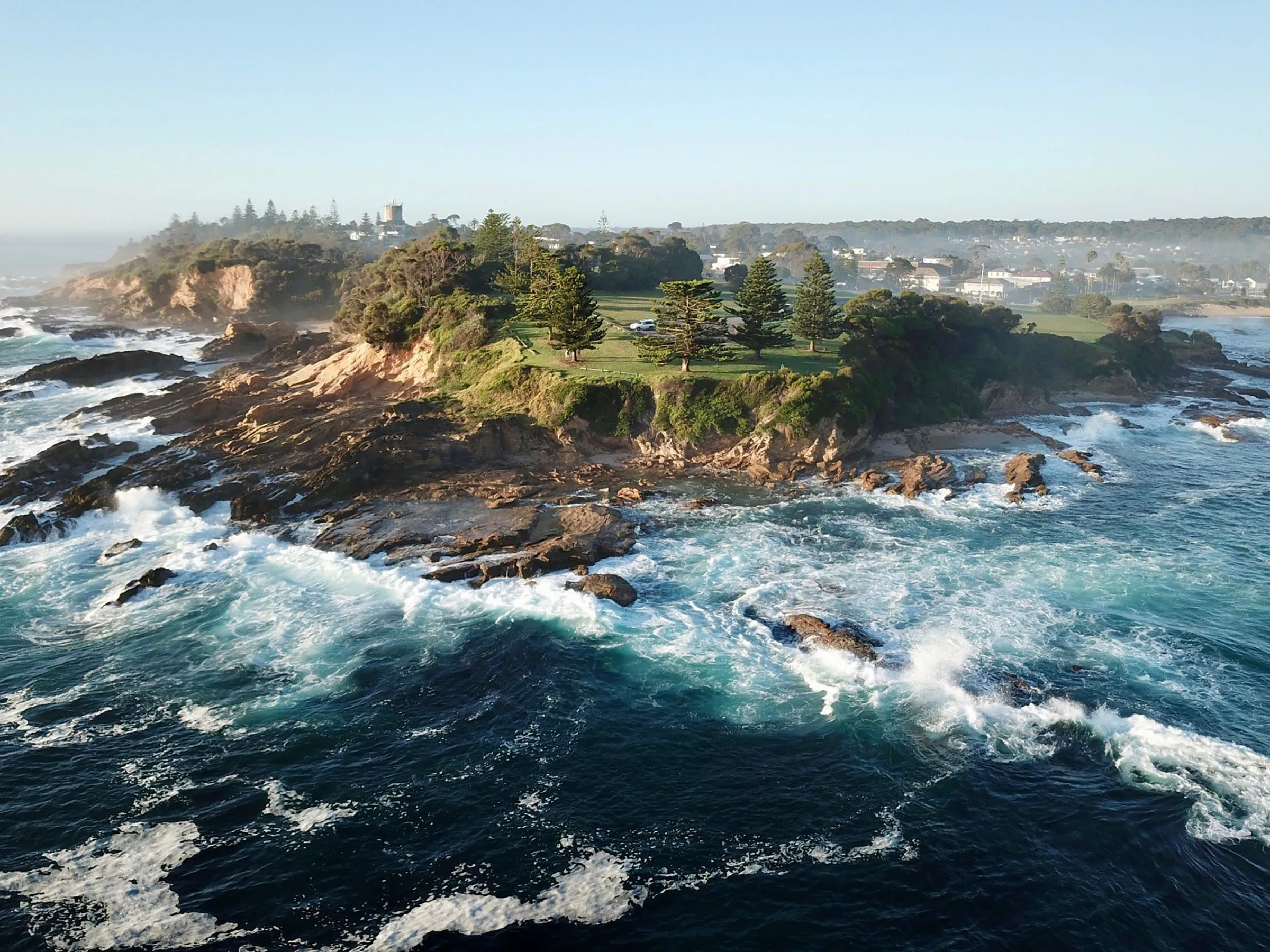
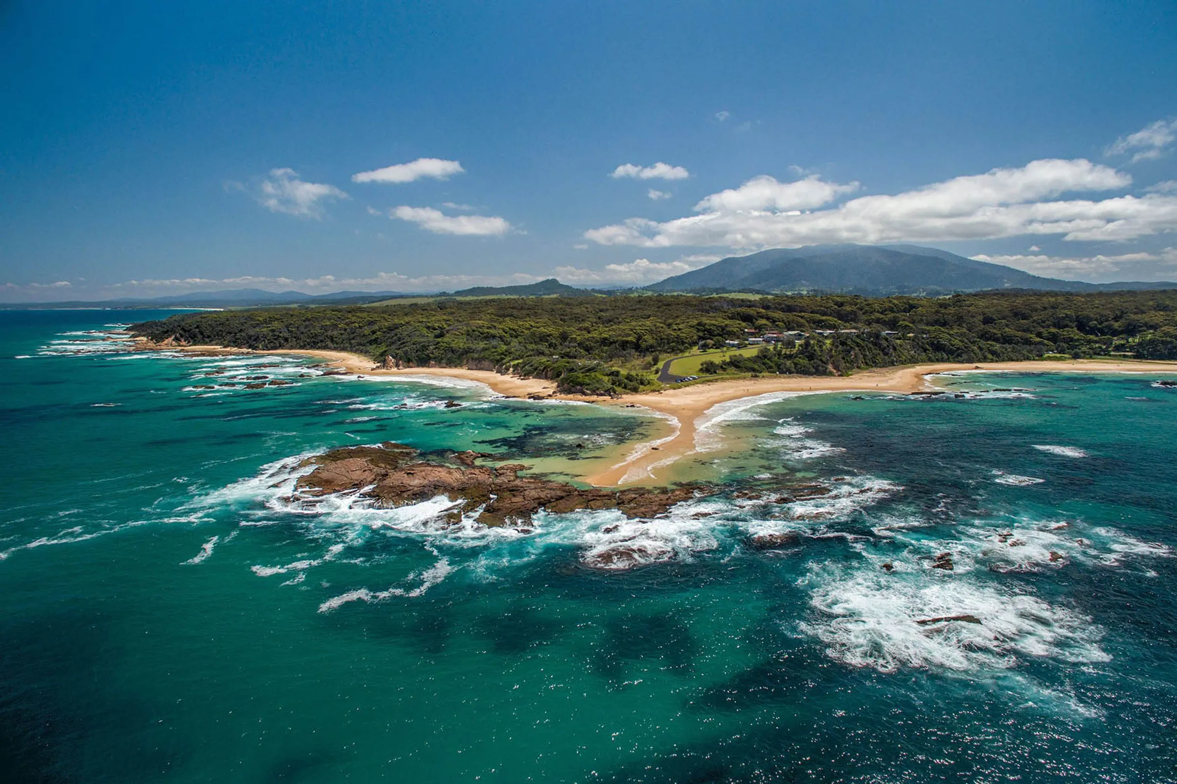
The Bermagui Coastal Walk is the region’s most well-known long-distance walk, stretching from Cuttagee Beach in the south to Wallaga Lake in the north. The trail follows the coastline, linking beaches, headlands and bushland tracks with sweeping ocean views and of course, the iconic Camel Rock, throughout. Most walkers choose to complete shorter sections rather than the full length, with Bermagui township sitting roughly midway along the route.
Start points and parking
- Cuttagee Beach: Car park at the southern end of the beach
- Bermagui township: Parking near Bermagui Harbour, Horseshoe Bay or the Blue Pool
- Wallaga Lake: Parking available near access points at the northern end
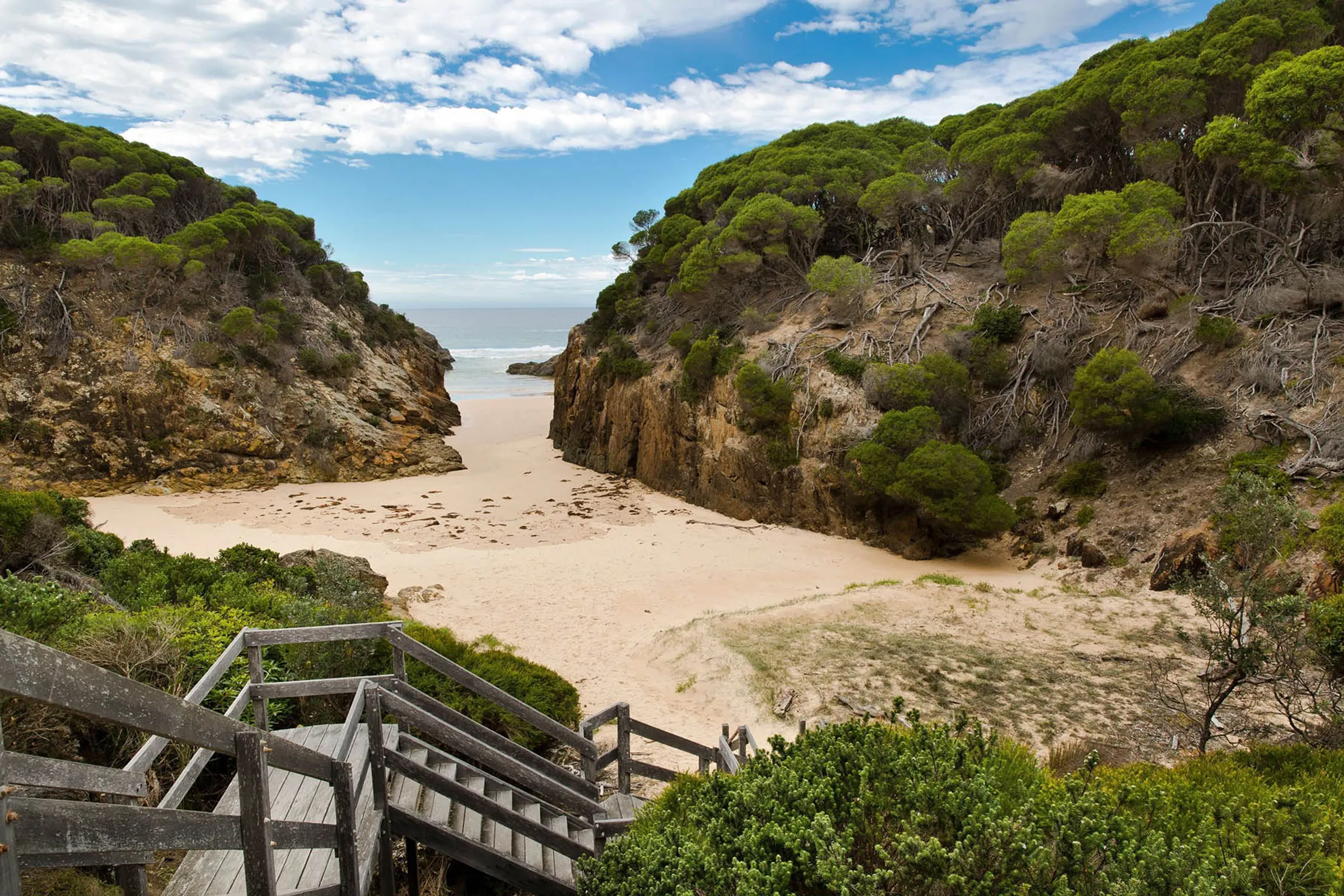
Blue Pool and Bermagui headland loop
Difficulty: Easy
Distance: Approx. 1.9km loop
Time: 30–45 minutes
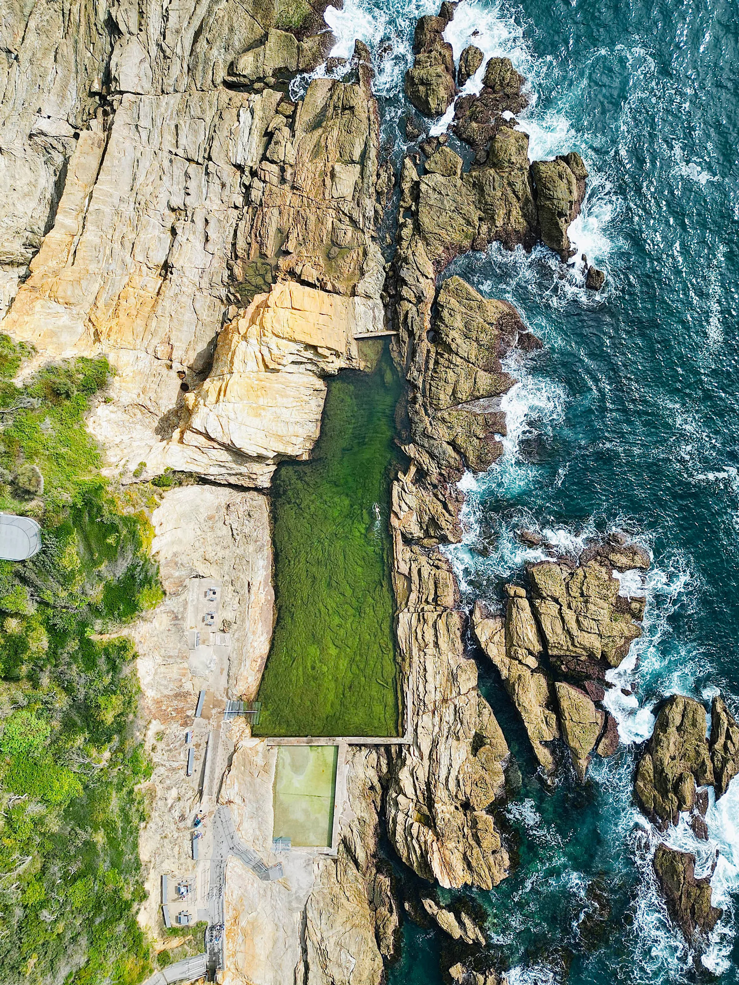
This short coastal loop is one of Bermagui’s most popular walks, circling the headland and passing the iconic Bermagui Blue Pool. The track is well defined and mostly flat, making it ideal for a relaxed coastal walk with uninterrupted ocean views, rock platforms and lookout points.
Start point and parking
- Start from Lamont Street / Horseshoe Bay
- Parking is available near Horseshoe Bay and the Blue Pool car park
Murunna Point Coastal Track
Difficulty: Easy to moderate
Distance: Approx. 3–4km return
Time: 1–1.5 hours
The Murunna Point walk follows a scenic coastal track north of Bermagui, offering elevated ocean views and access to quieter stretches of coastline, including Camel Rock. The track is less busy than central Bermagui walks and is ideal if you’re looking for a peaceful outing with minimal elevation changes.
Start point and parking
- Track begins near the end of Camel Rock Road
- Roadside parking is available close to the trailhead
Beowa (Ben Boyd) National Park coastal walks
Difficulty: Moderate to hard (varies by track)
Distance: Varies
Time: 1 hour to full-day hikes
Located south of Bermagui, Beowa (Ben Boyd) National Park offers a network of coastal and bushwalking tracks for more experienced hikers. Popular routes include walks between remote bays, historic sites and rugged cliff tops. These tracks are less developed and best suited to confident walkers.
Start points and parking
- Access via park entry points near Bittangabee Bay, Saltwater Creek and Green Cape
- Designated car parks are available at major trailheads
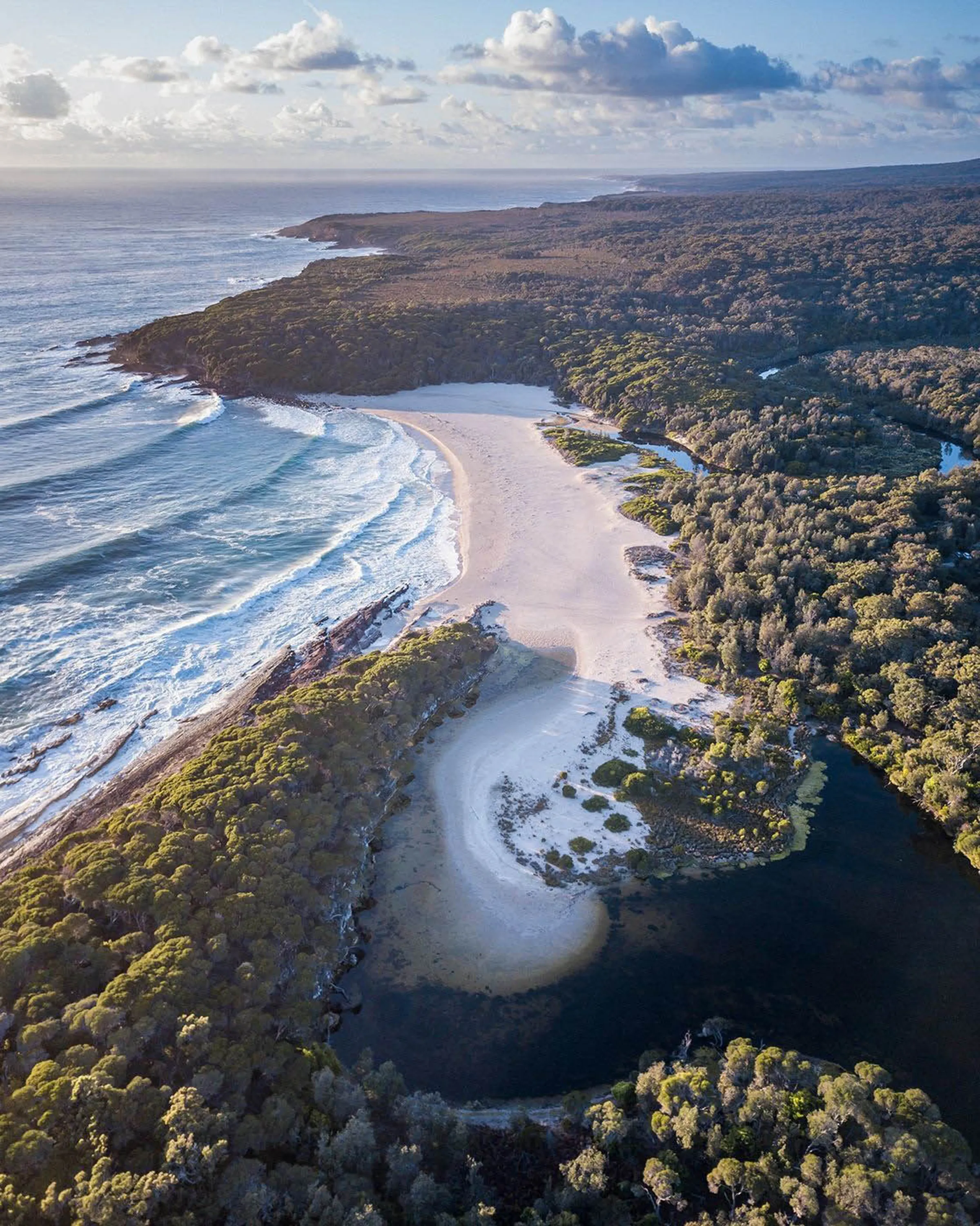
Mystery Bay to 1080 Beach walk
Difficulty: Moderate
Distance: Approx. 6–8km (one way)
Time: 2–3 hours
This beautiful coastal walk begins in Mystery Bay, heading south toward 1080 Beach. It travels along mixed terrain of beach, coastal scrub and rocky shorelines, offering excellent birdwatching, ocean views and the chance to see marine life in rock pools and surf zones. The track is more rugged in places, so sturdy footwear is recommended.
Start point and parking
- Mystery Bay picnic and trailhead car park
- Parking is available at the Mystery Bay Reserve area
Gulaga Mountain walk
Difficulty: Moderate to hard
Distance: 8–10km (varies by viewpoint)
Time: 4–6 hours
For those seeking a more challenging inland hike with cultural and panoramic rewards, Gulaga Mountain (formerly Mt Dromedary) offers a beloved walk through lush subtropical rainforest and up to summit lookouts. At the top, sweeping views stretch across the South Coast to Bermagui, the Tasman Sea and surrounding hinterland. The track climbs steadily and can be steep in sections.
Start point and parking:
- Central Gulaga Mountain trailhead off Princes Highway (via Tilba Tilba)
- Parking is available at the designated Gulaga Mountain car park near the trail entrance
Bournda National Park walking tracks
Difficulty: Easy to moderate
Distance: Short loops to longer hikes
Time: 30 minutes to several hours
North of Bermagui, Bournda National Park features a mix of forest walks, coastal tracks and lake-side paths. These trails are well suited to walkers wanting a quieter bush setting close to the coast, with options to suit different fitness levels.
Start points and parking
- Access from park entry points near North Bournda Beach and Bournda Lagoon
- Parking available at signed car parks throughout the park
Tips for walking and hiking near Bermagui
- Choose sections of longer walks if you’re short on time
- Wear sturdy walking shoes, especially for coastal and national park tracks
- Carry water, sun protection and a map or GPS for longer hikes
- Check conditions before heading out, particularly after rain
With its mix of coastal paths, headland loops and national park hikes, Bermagui offers some of the best walking and hiking trails on the Sapphire Coast. Whether you’re looking for a short scenic stroll or a full-day coastal adventure, there’s no shortage of tracks to explore near Bermagui.
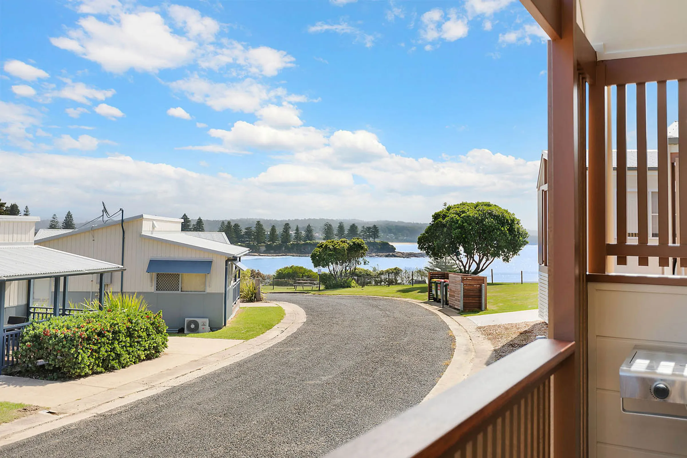
Looking for Bermagui Accommodation?
For well-located Bermagui accommodation close to walking and hiking trails, Reflections Bermagui Holiday Park offers an easy base on the NSW South Coast. Set close to beaches, headlands and the town centre, it’s ideal for exploring the area while enjoying relaxed South Coast accommodation.
Accommodation and Bermagui camping options at Reflections Bermagui include:
Related articles
Family-friendly outdoor walks on the coffs coast
2 min read
Discover easy, family-friendly walks on the Coffs Coast, from coastal paths to rainforest trails, all...
Read more

Best things to do Bellingen, NSW on a Coffs Coast day trip
4 min read
Discover the best things to do in Bellingen NSW, from waterfalls and river swims to cafes, markets and...
Read more
Discover the Ultimate Family-Friendly Adventures on the Central Coast, NSW
2 min read
A visit to the stunning Central Coast of New South Wales is a must on your adventure bucket list, where...
Read more
Coffs Coast in spring: things to do, where to go and what to see
2 min read
Discover the best of the Coffs Coast in spring, from coastal walks and beach days to hinterland escapes,...
Read more
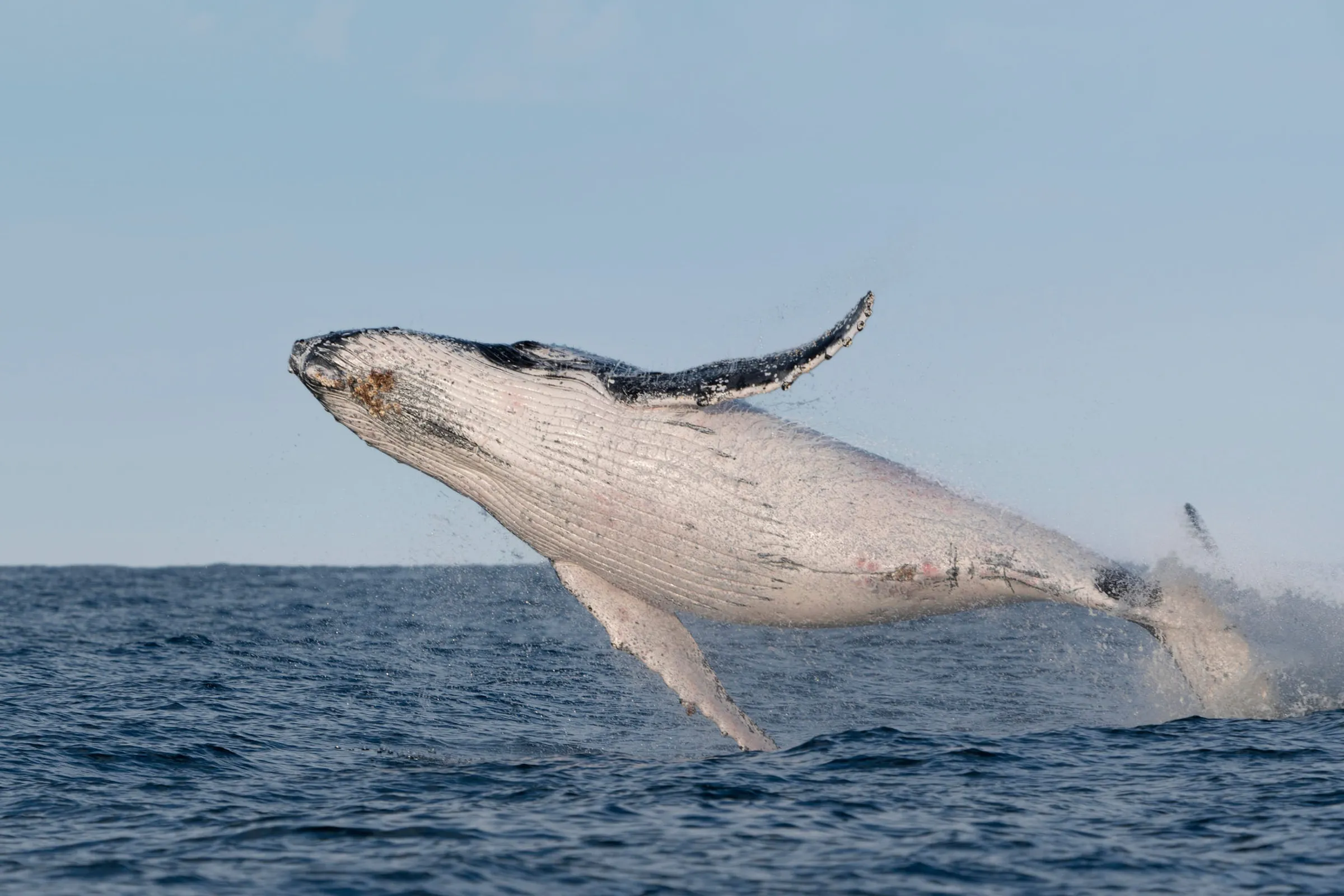
Whale watching in NSW: Best spots, top tips & more
2 min read
Your guide to whale watching in NSW, including the best locations, seasonal tips and coastal viewpoints...
Read more

The best nature and wildlife photography destinations in NSW
2 min read
Looking for the best photography locations NSW photographers? Check out the best parks for photography...
Read more